Friends of Stellenbosch Mountain
Click on the thumbnails for full-size images.Boreholes in Paradyskloof: Updates
A recent article by top scientists in Veld and Flora, the publication of the Botanical Society of South Africa, is clear that current drilling practices must be revised urgently and the long-term consequences especially for the water tables and ecosystems be understood.
Apparently, there has been instruction from provincial
government that some of the borehole sites should be
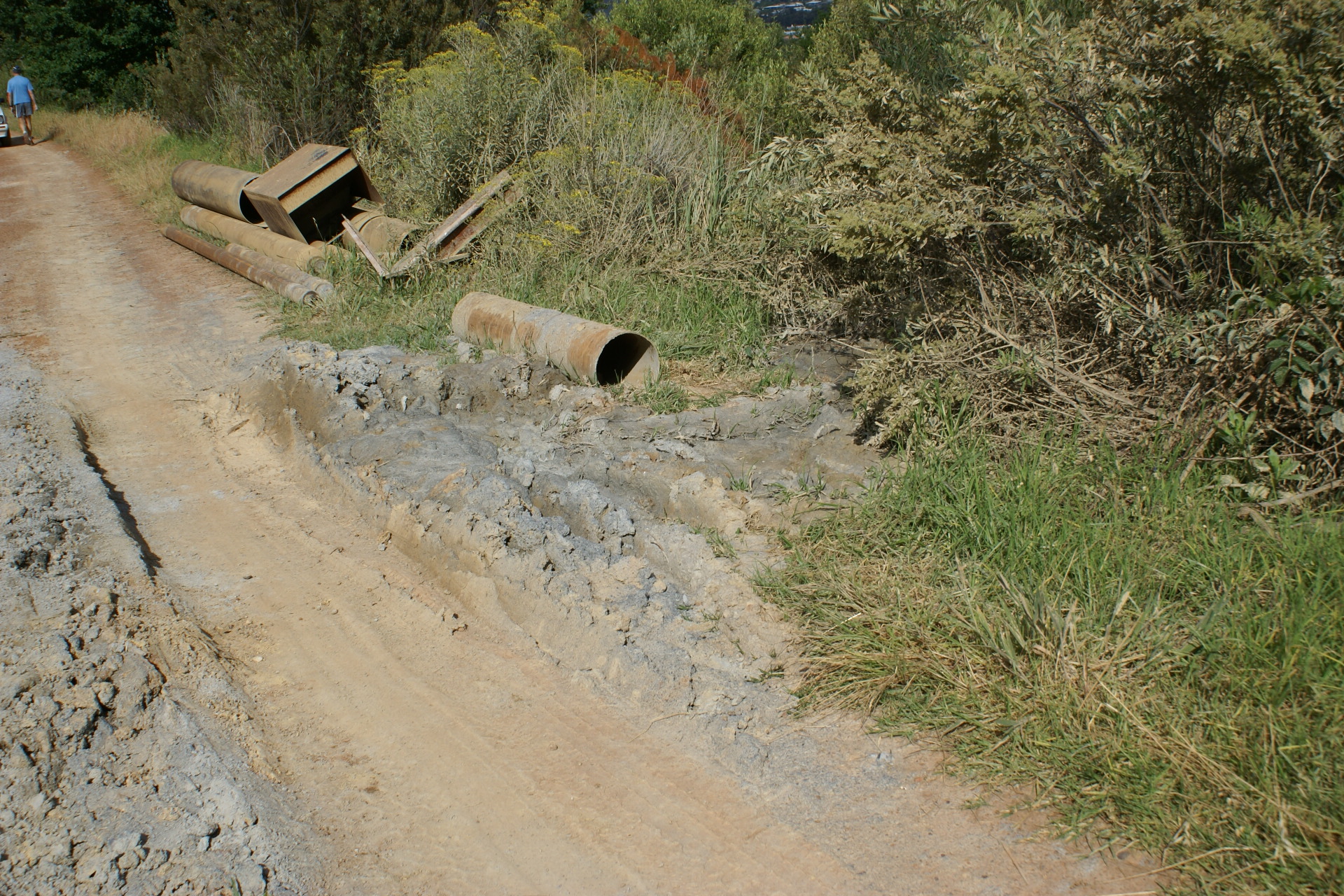
rehabilitated. That is good news. The results so far are,
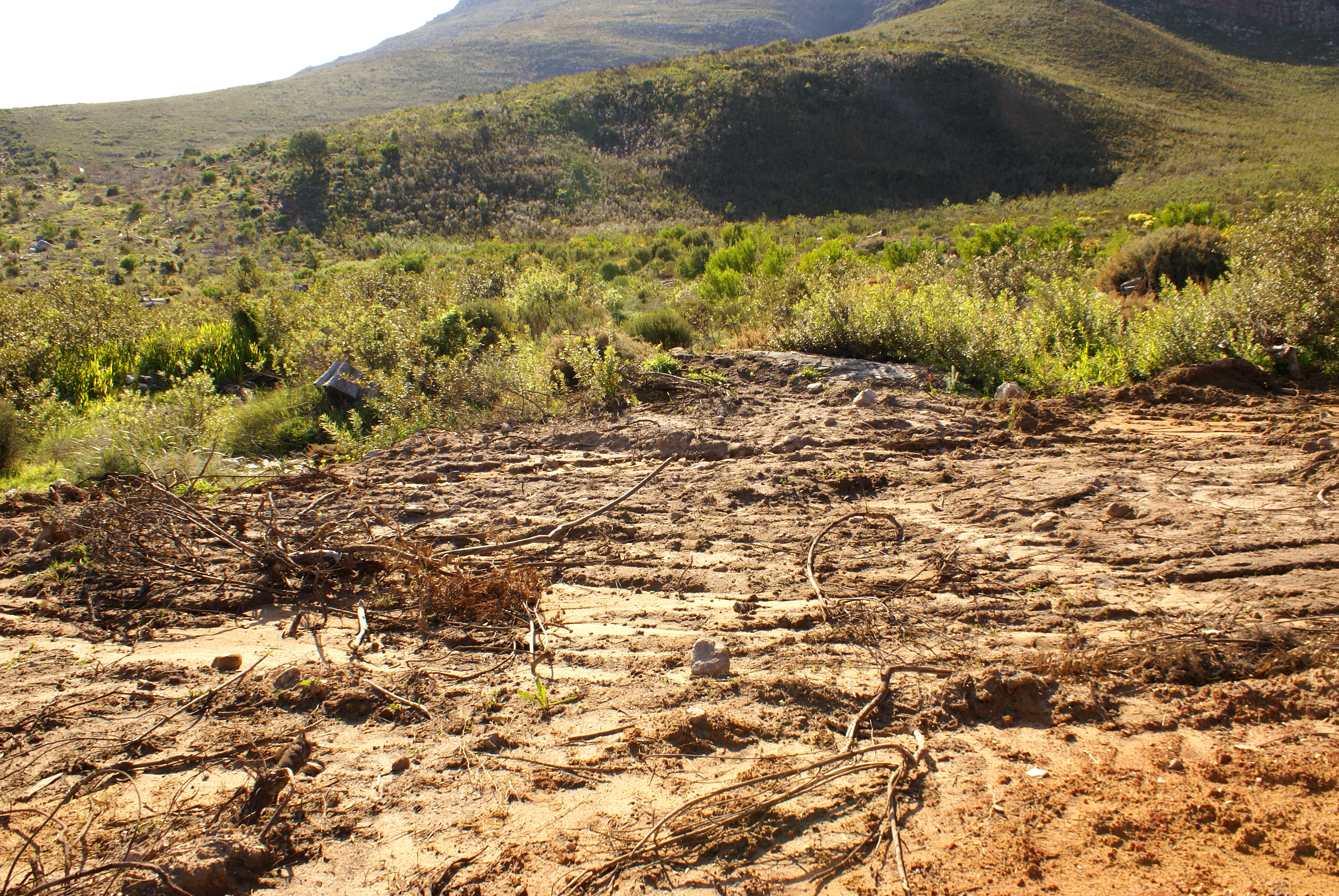
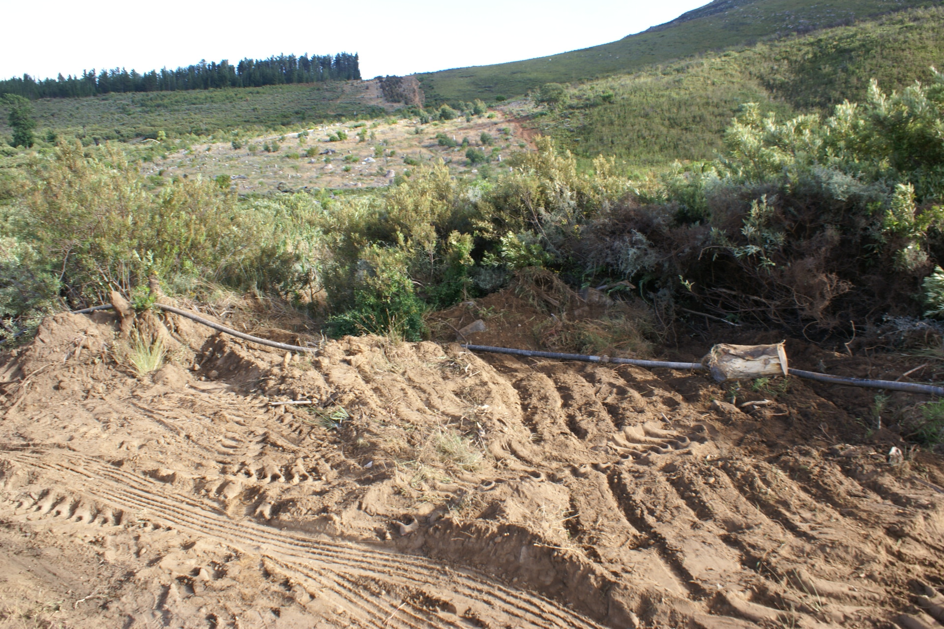
however, not encouraging. Here are some photographs of the
Borehole B site drilled in June 2017 and described
below. There has been some cursory raking of the ground, not
even by elevation contours to prevent further erosion, but
downhill. As predicted, the silt and drilling remnants are now
being transported into the vegetation downhill.


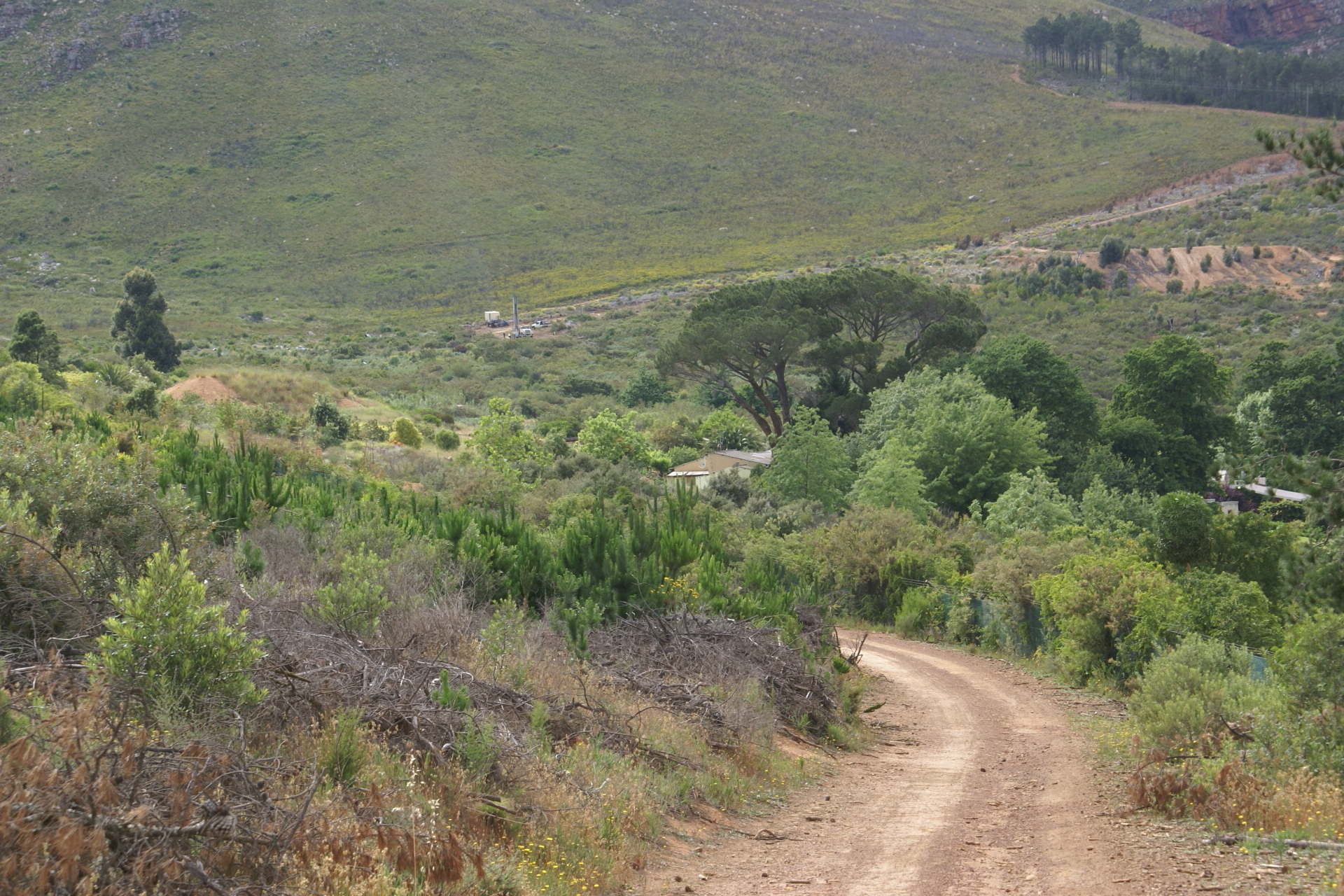
Boreholes in Paradyskloof
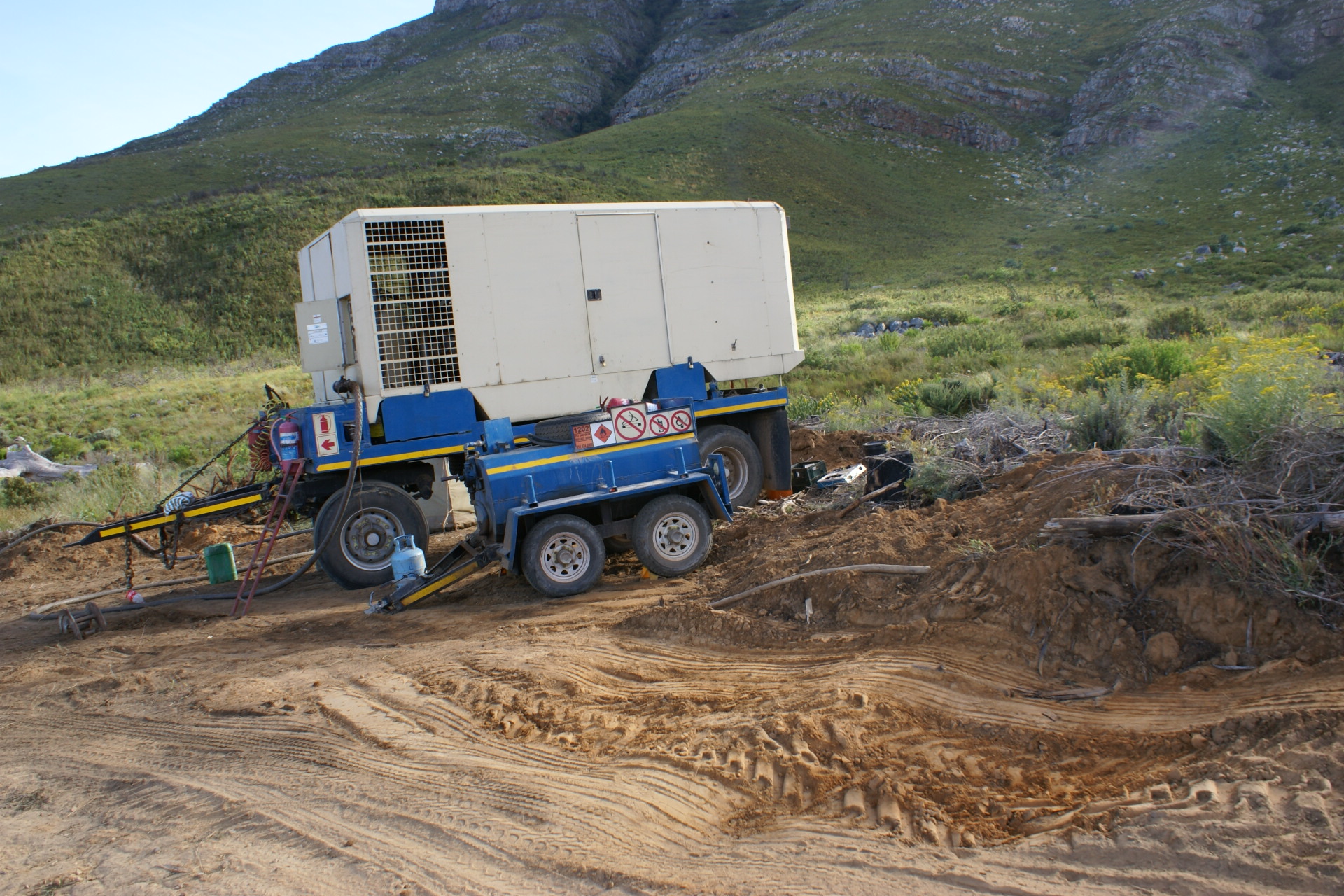
The Municipality has started drilling boreholes in accordance
with the Drought
Response Plan which is dated 9 June 2017. The
DEADP
directive of 7 August 2017 seems to be the document which
is supposed to govern these actions.
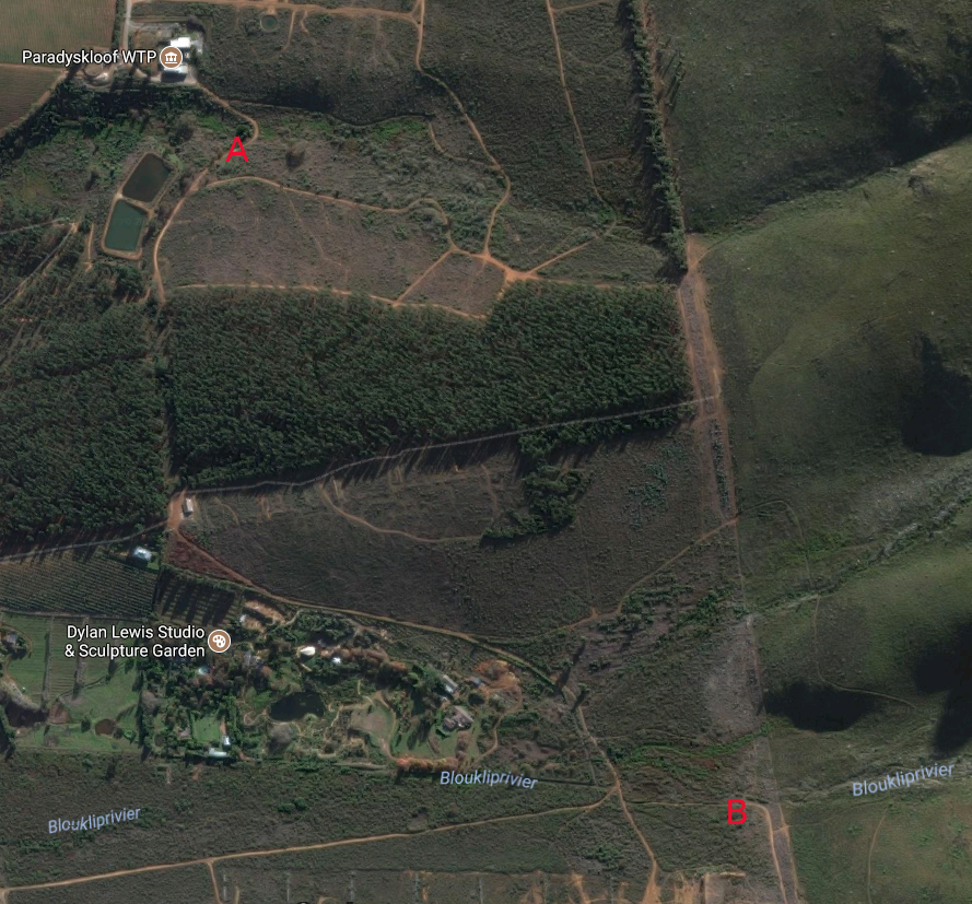
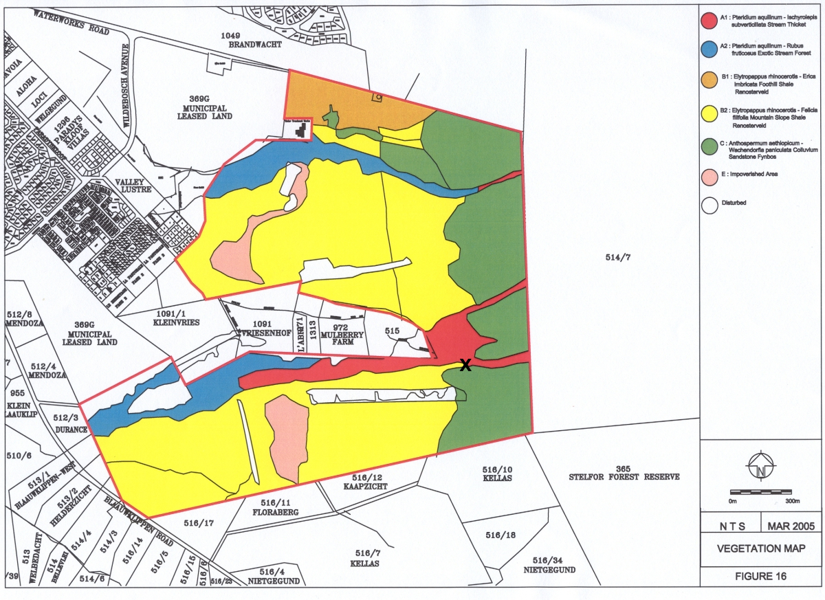
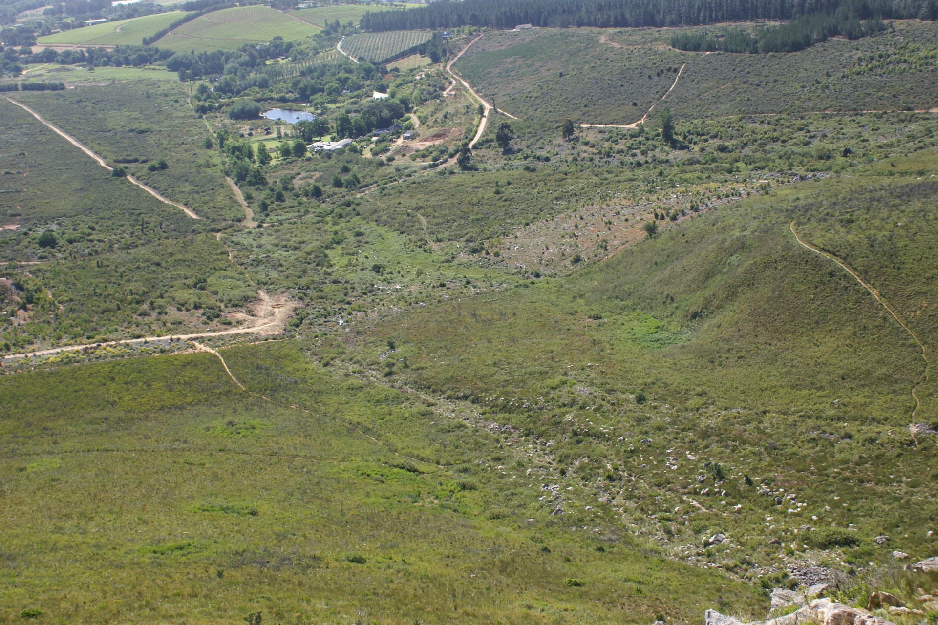
On Farm 369, there are currently two boreholes as marked in on the
image below. Both are sited within metres of the respective
rivers and wetlands. The wetlands were identified in the
2006 botanical study by Dr C Boucher as among the
most threatened ecosystems in South Africa.
The locations of the two boreholes are shown in the adjacent
image. Compare that to the Boucher botanical map, on which
Borehole B is marked with a white X (here is
the full-sized
original):
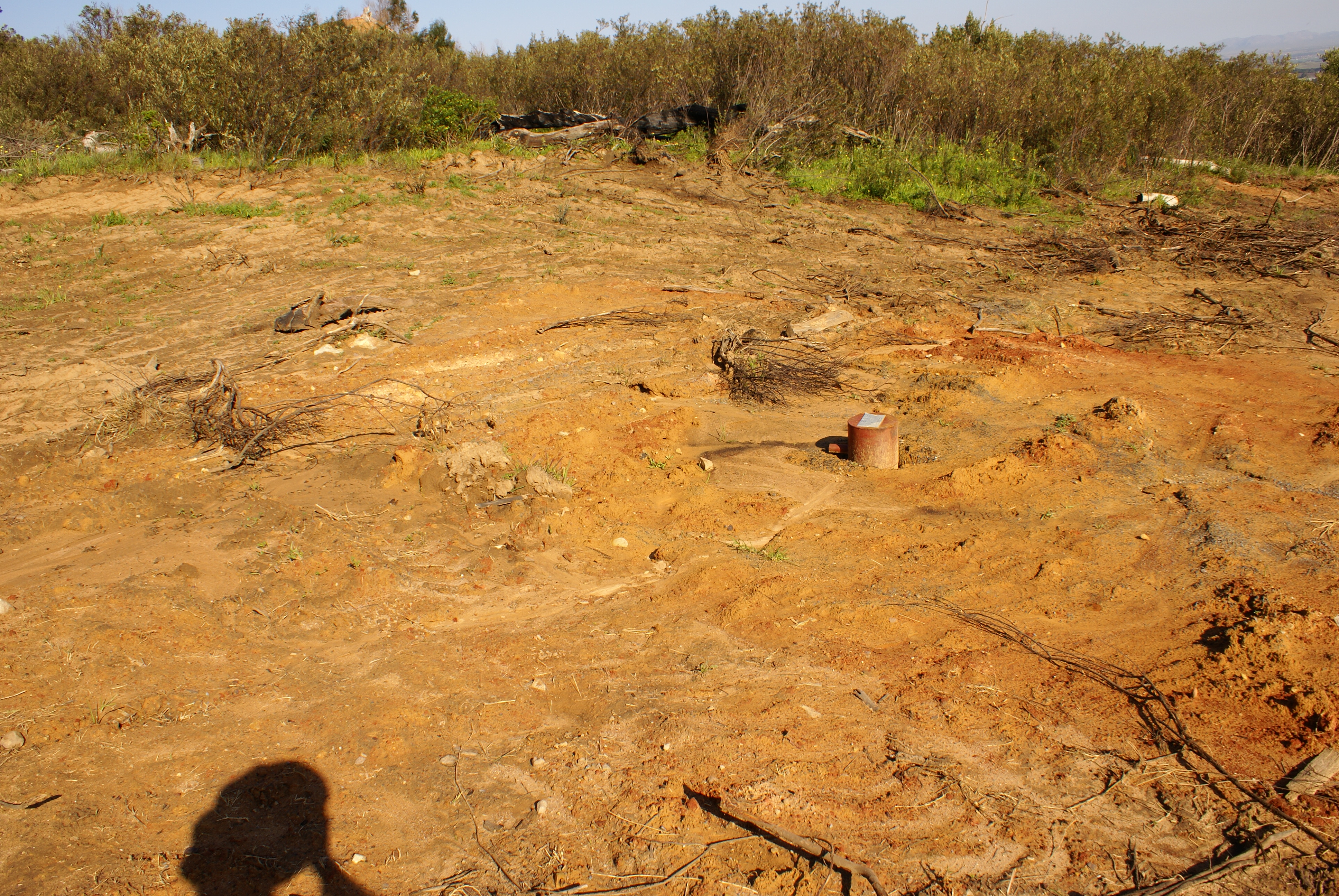
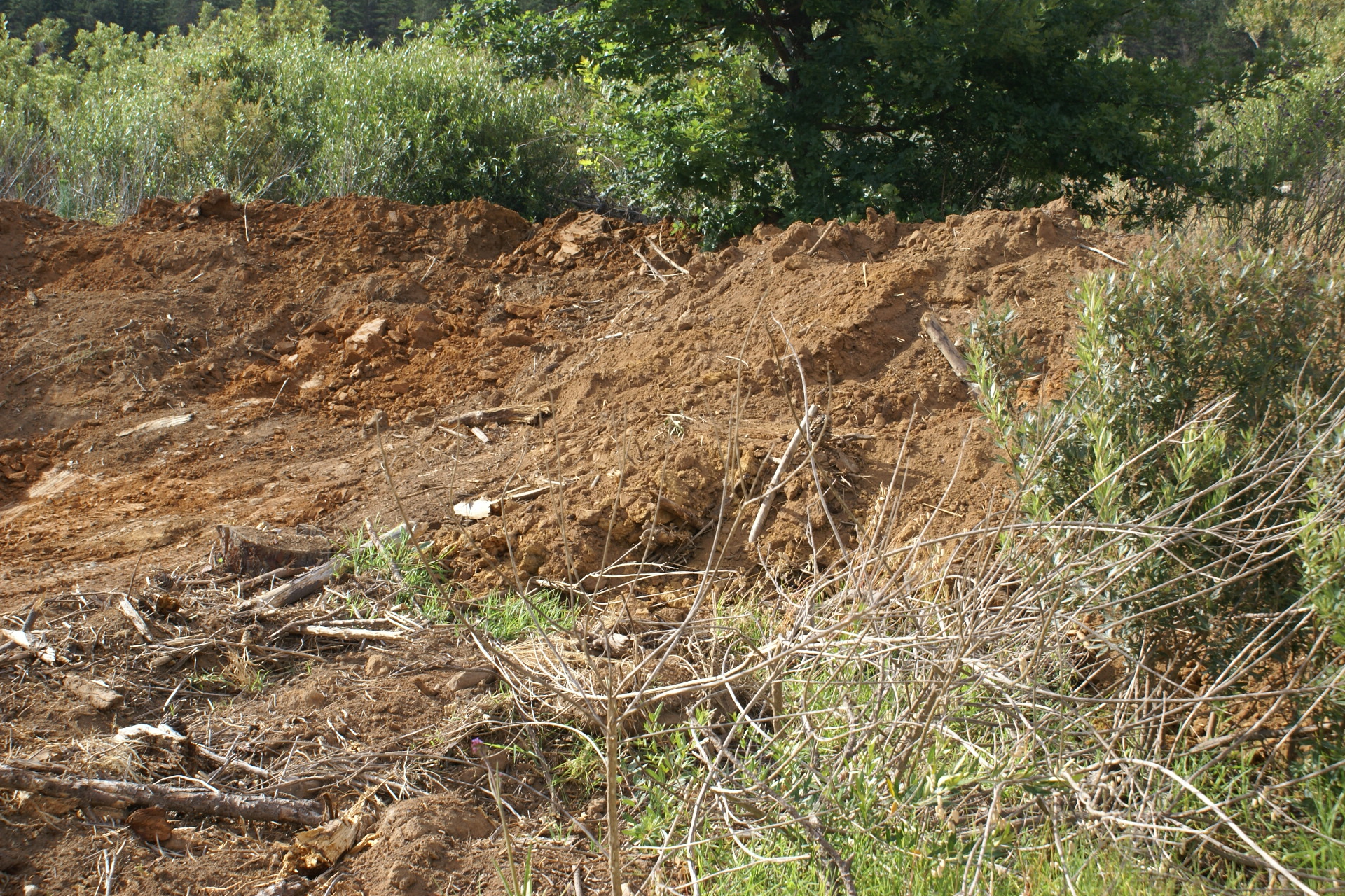
Borehole A
Borehole A was completed approximately on 17 November
2017. The site has not been cleaned up as visible on these
images:
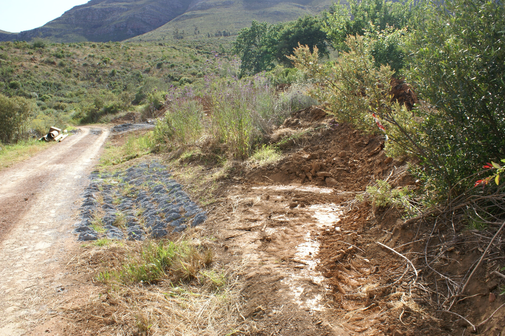

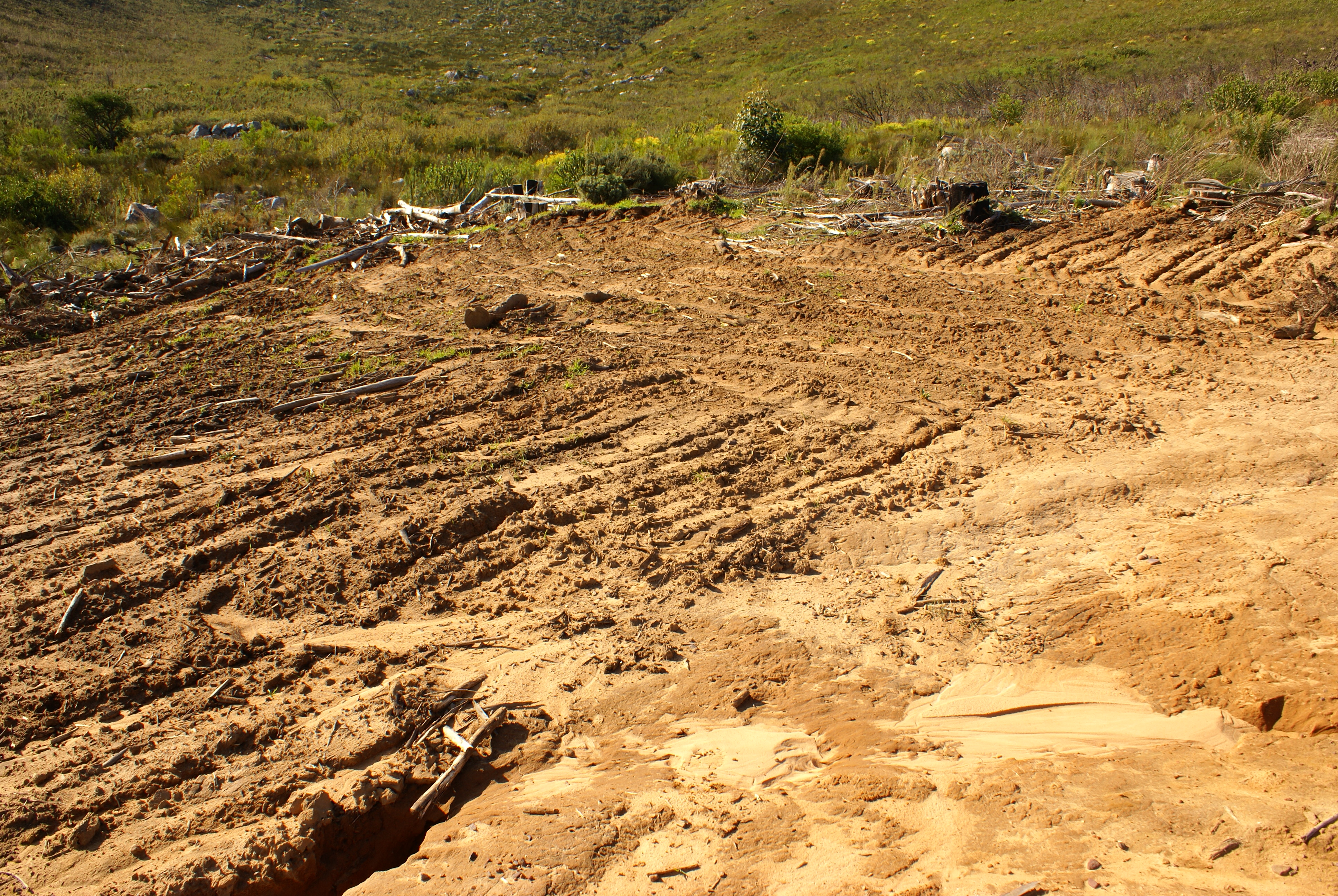
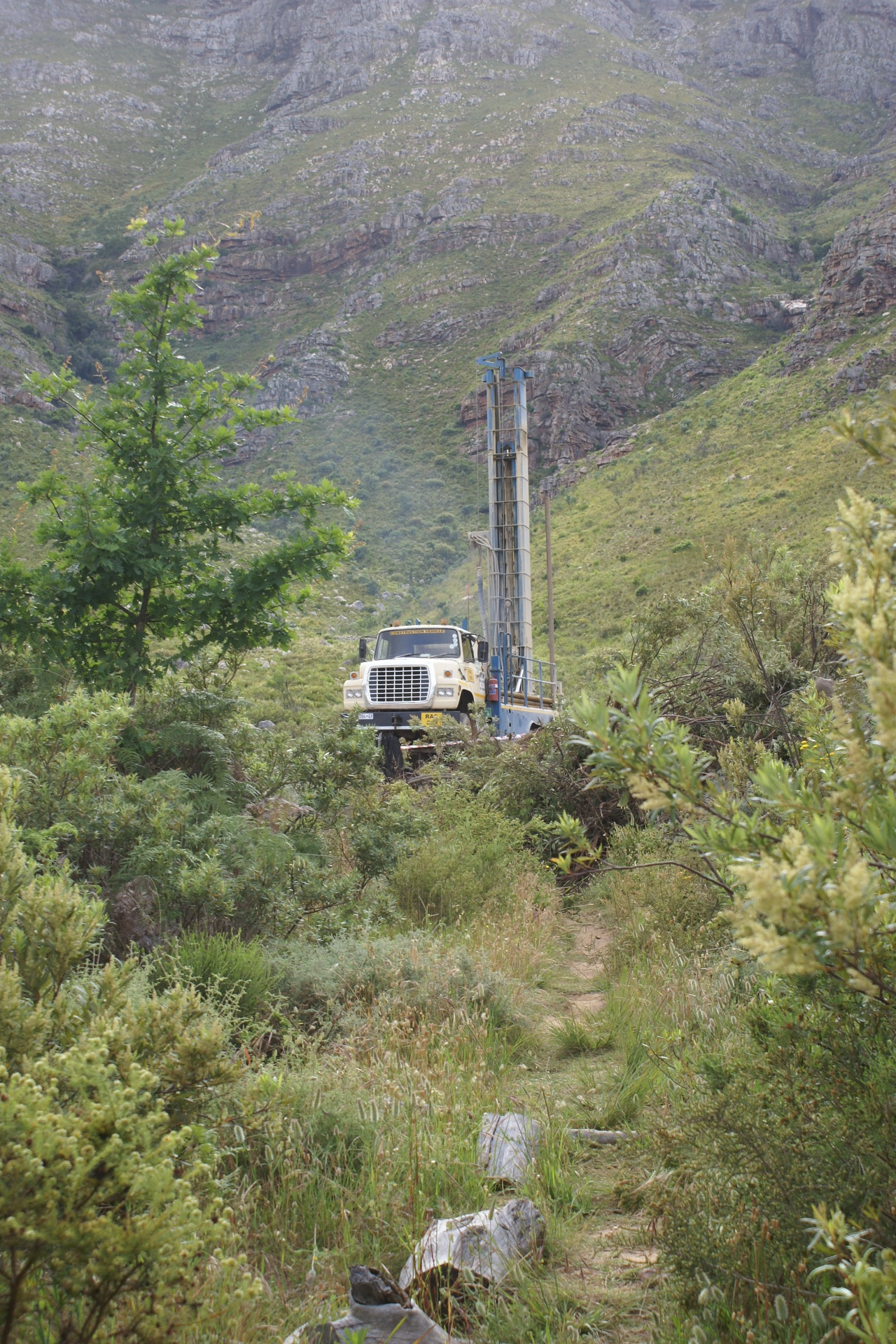
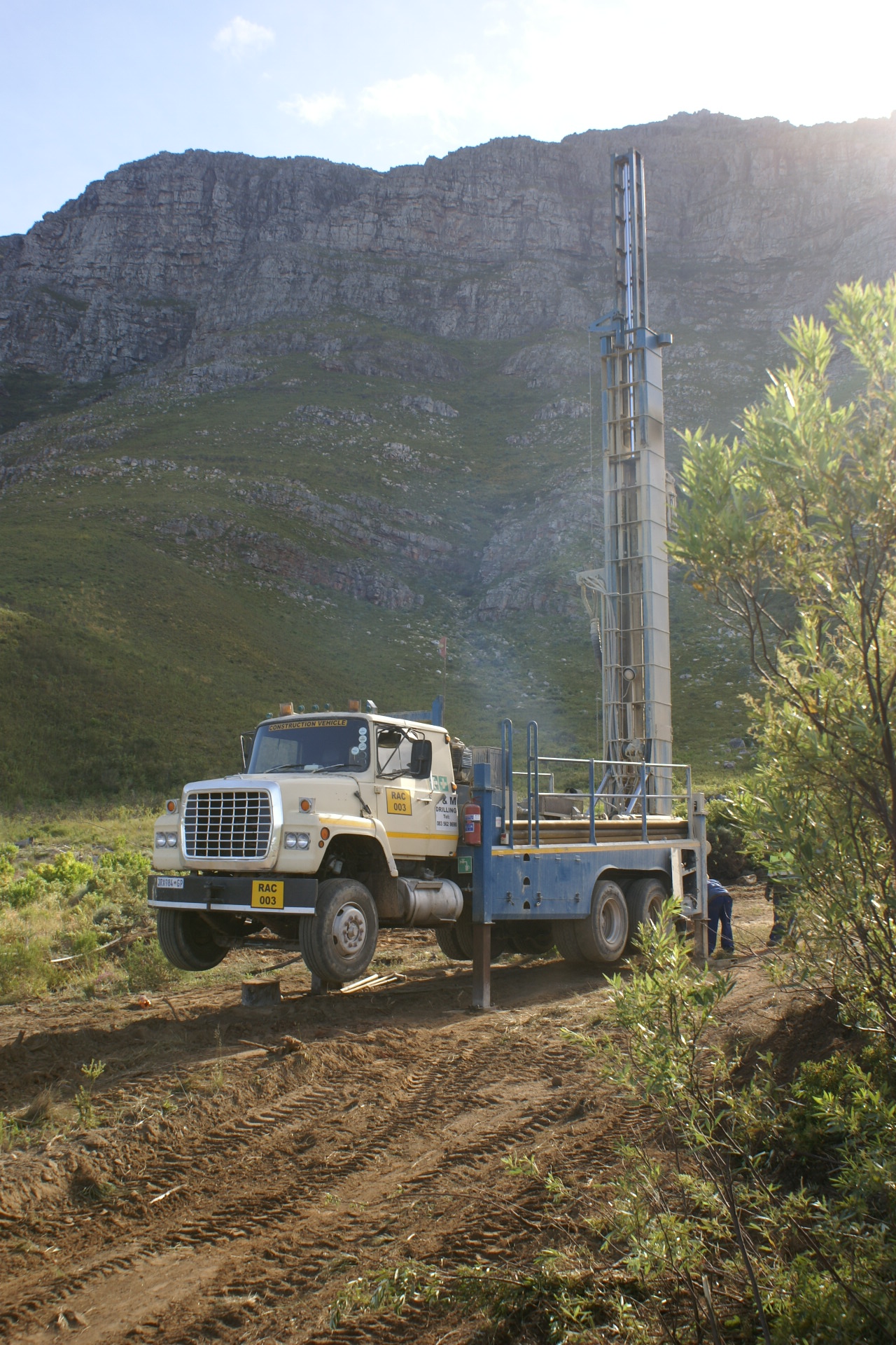
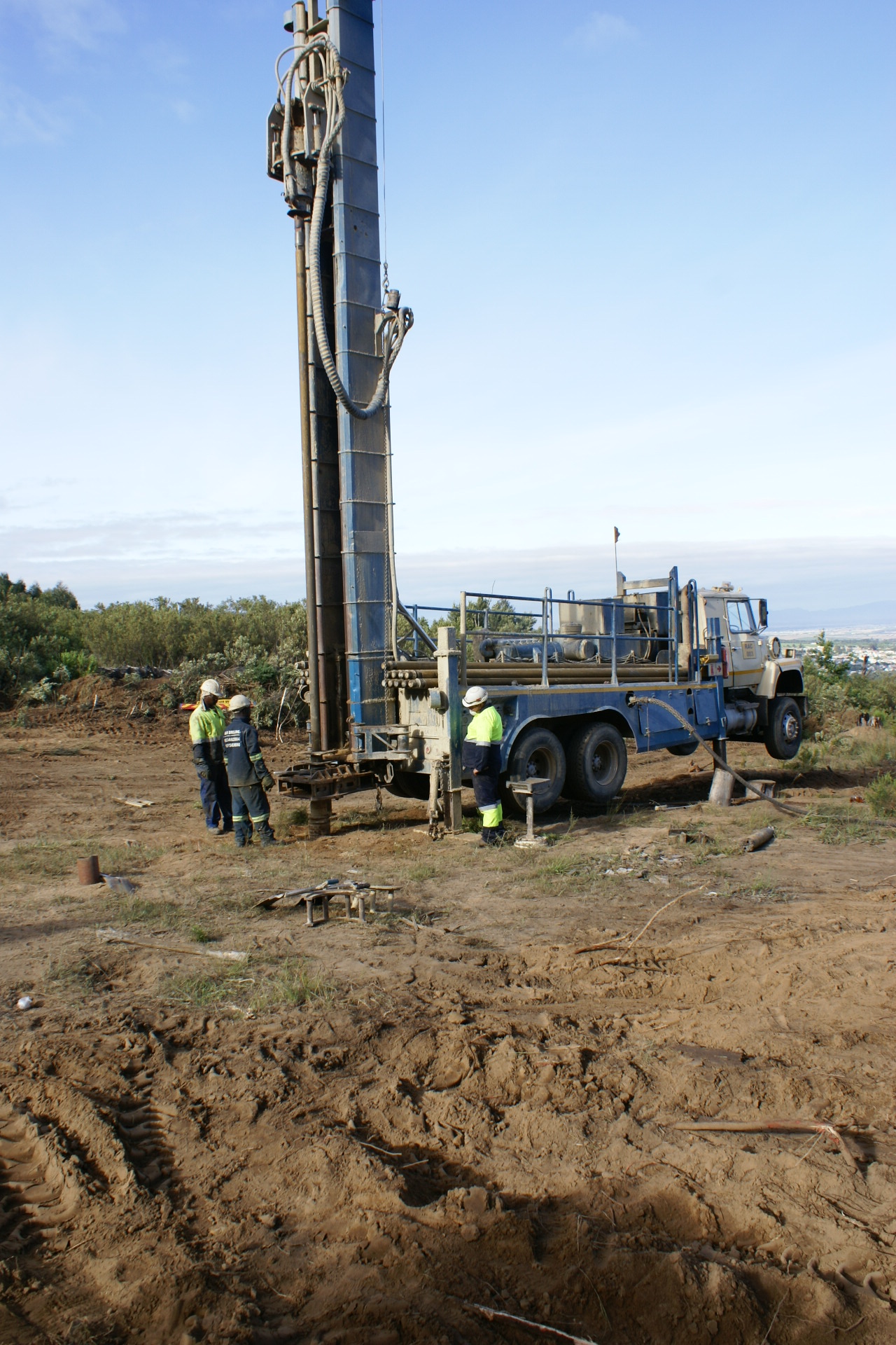
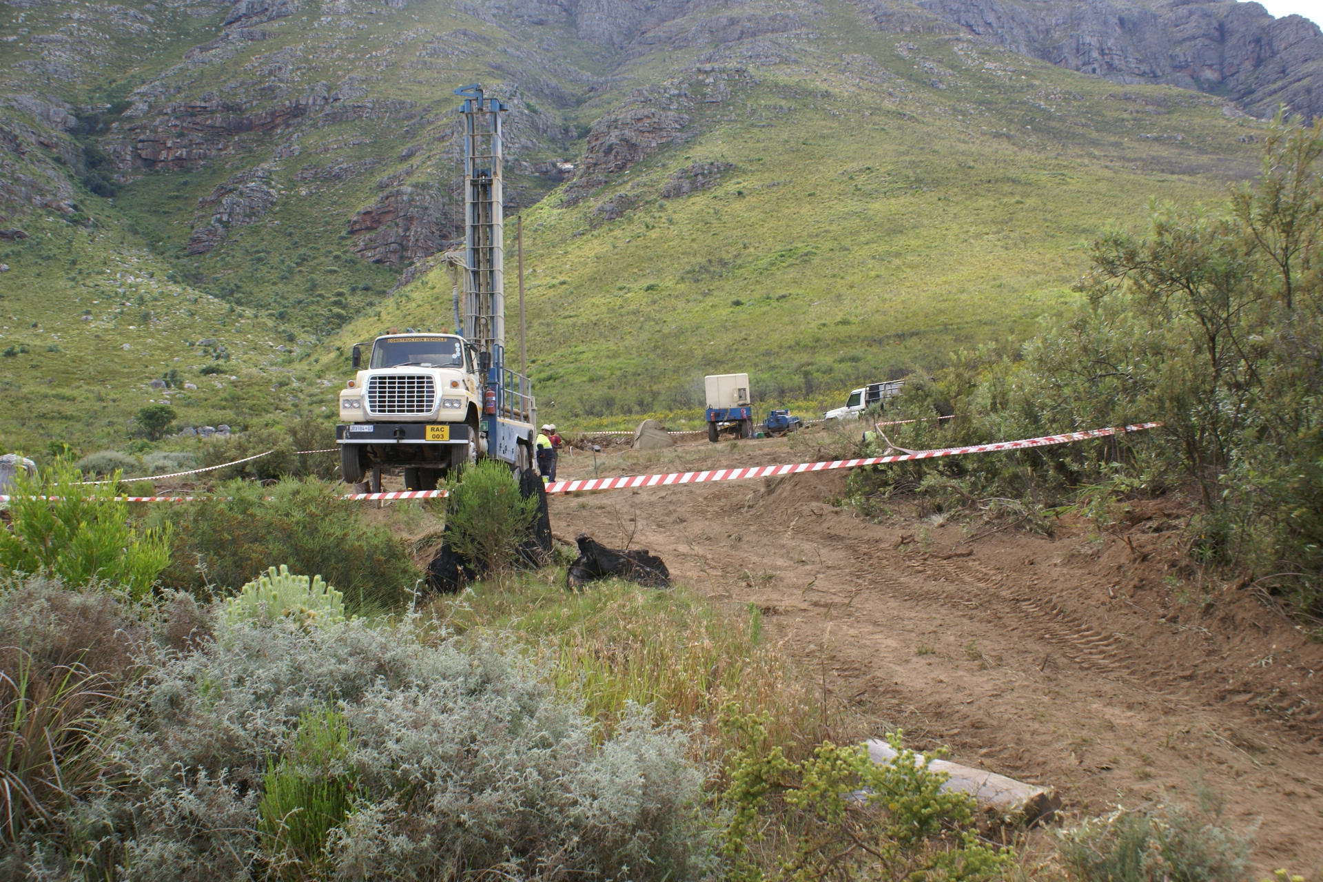
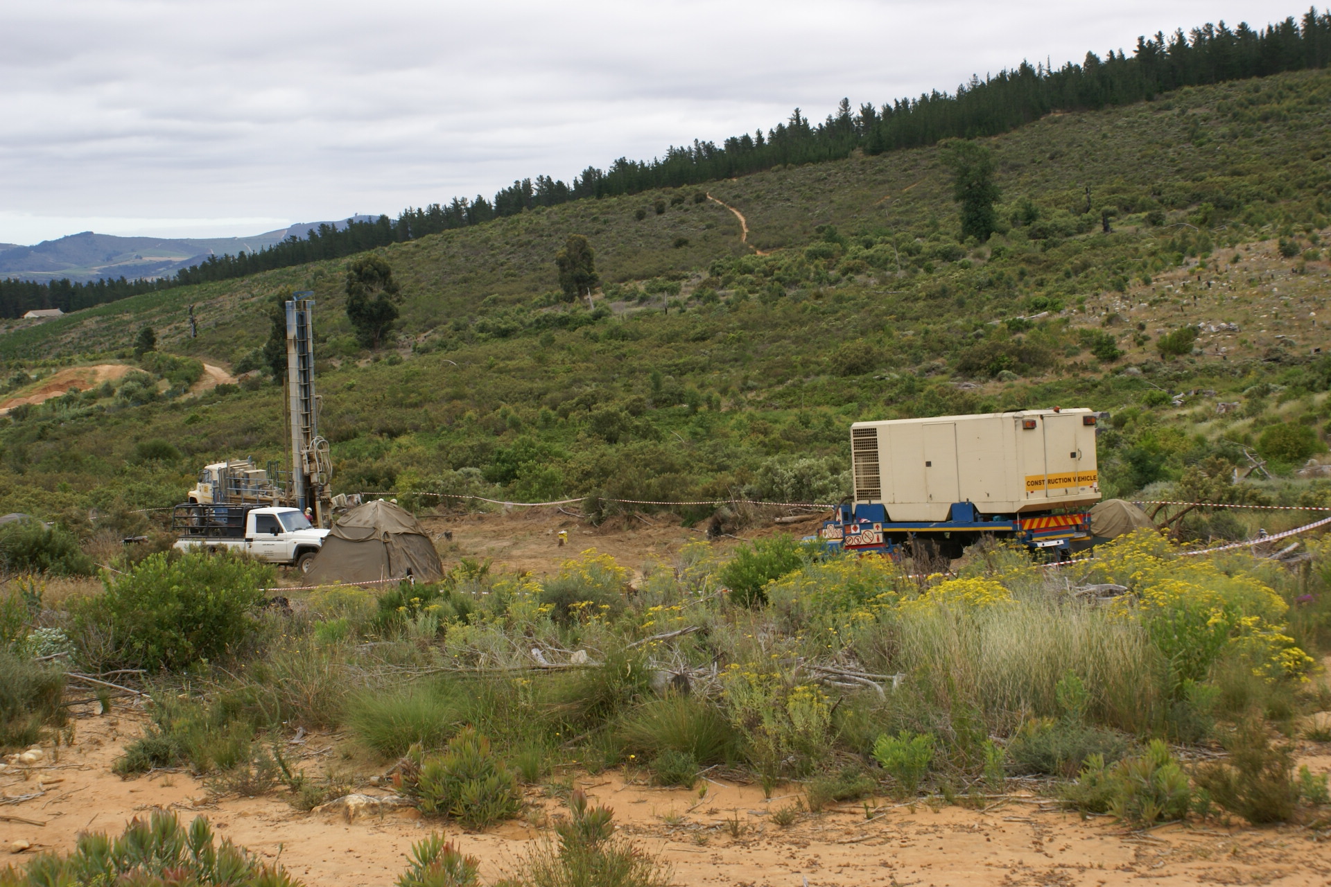
Borehole B
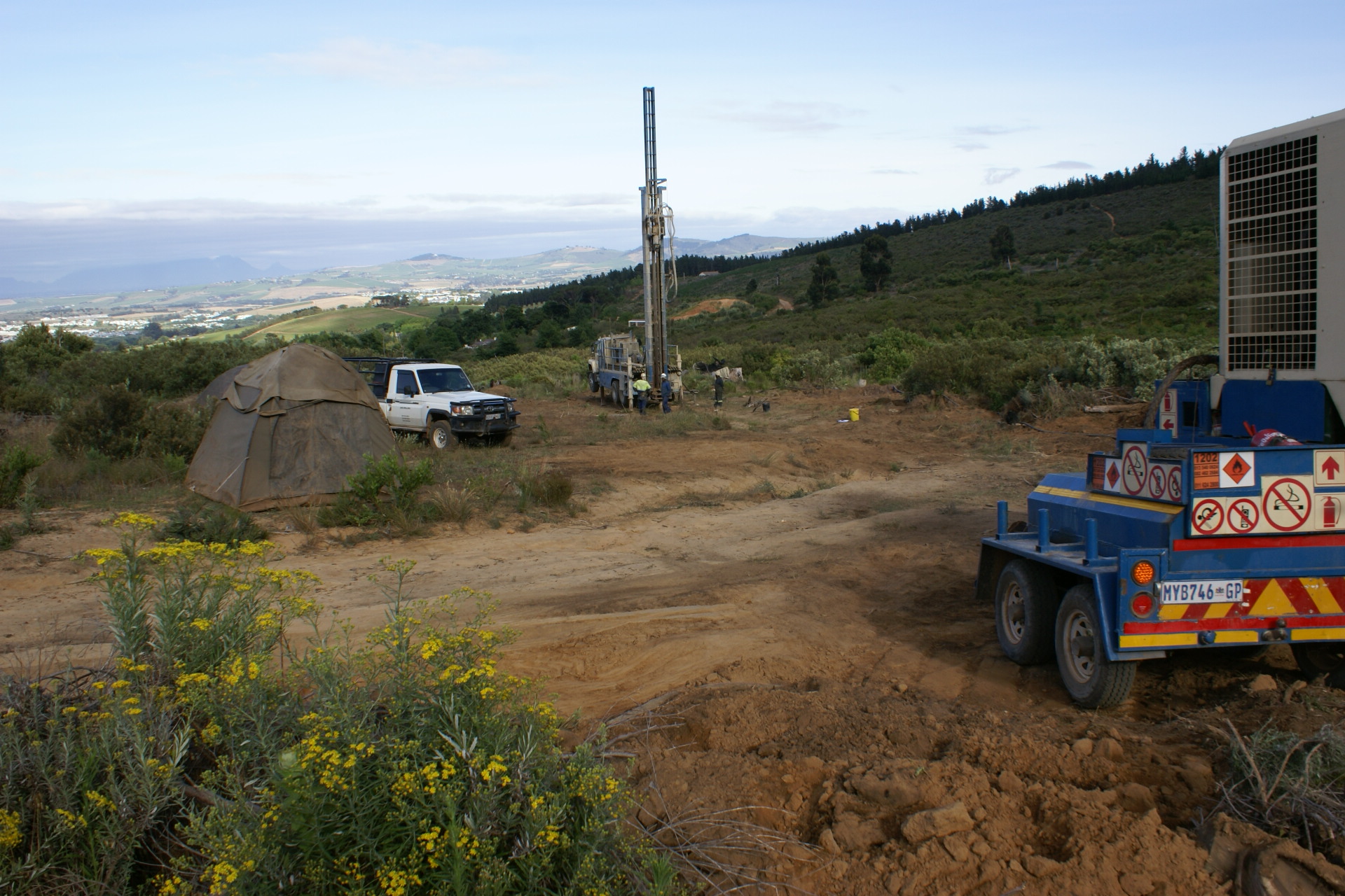
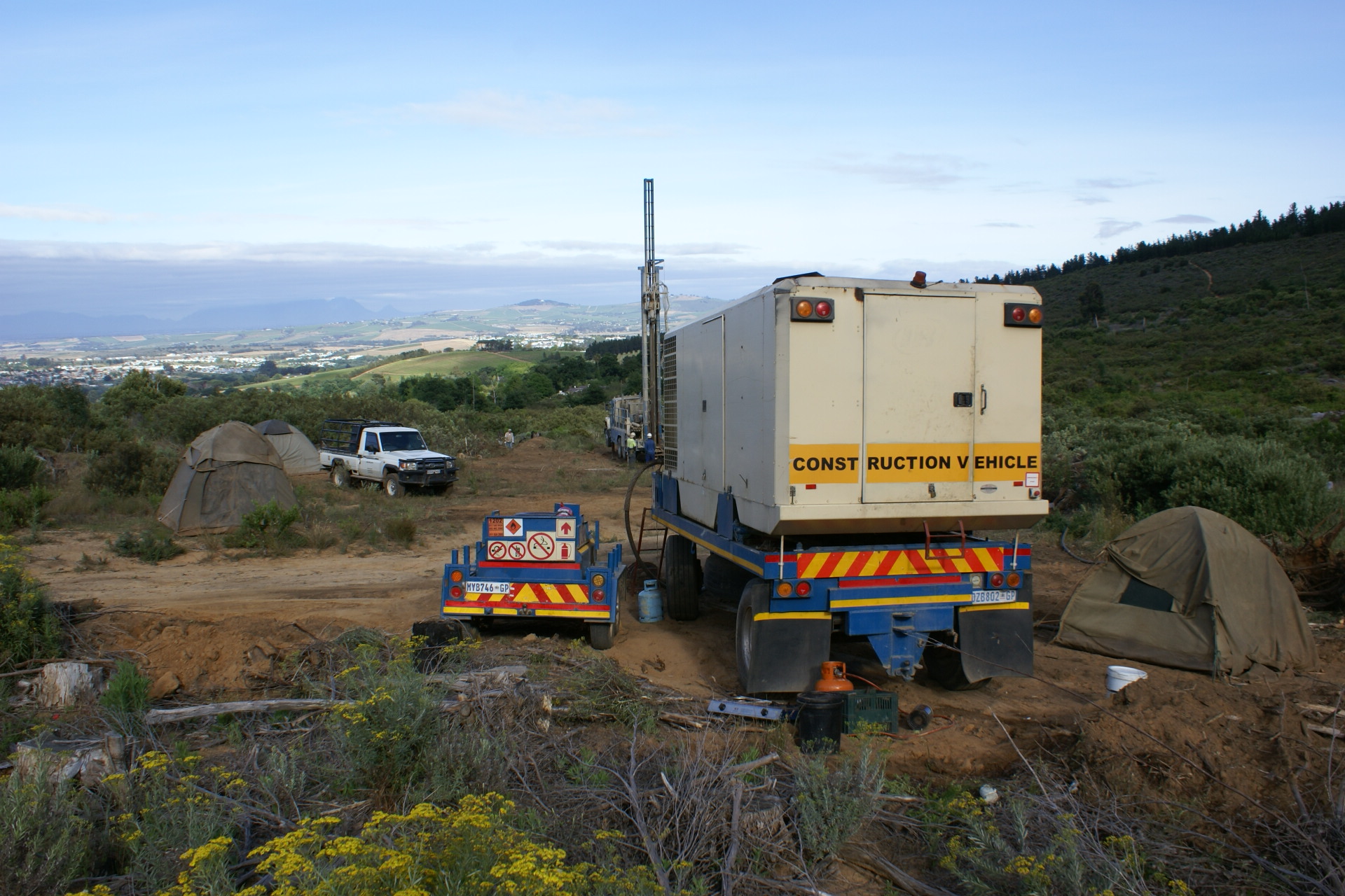
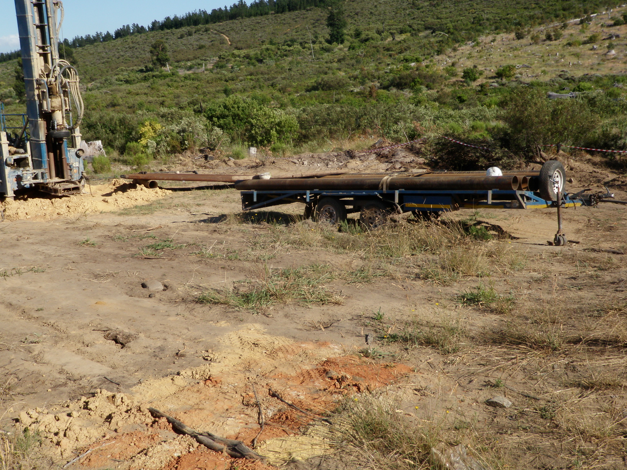
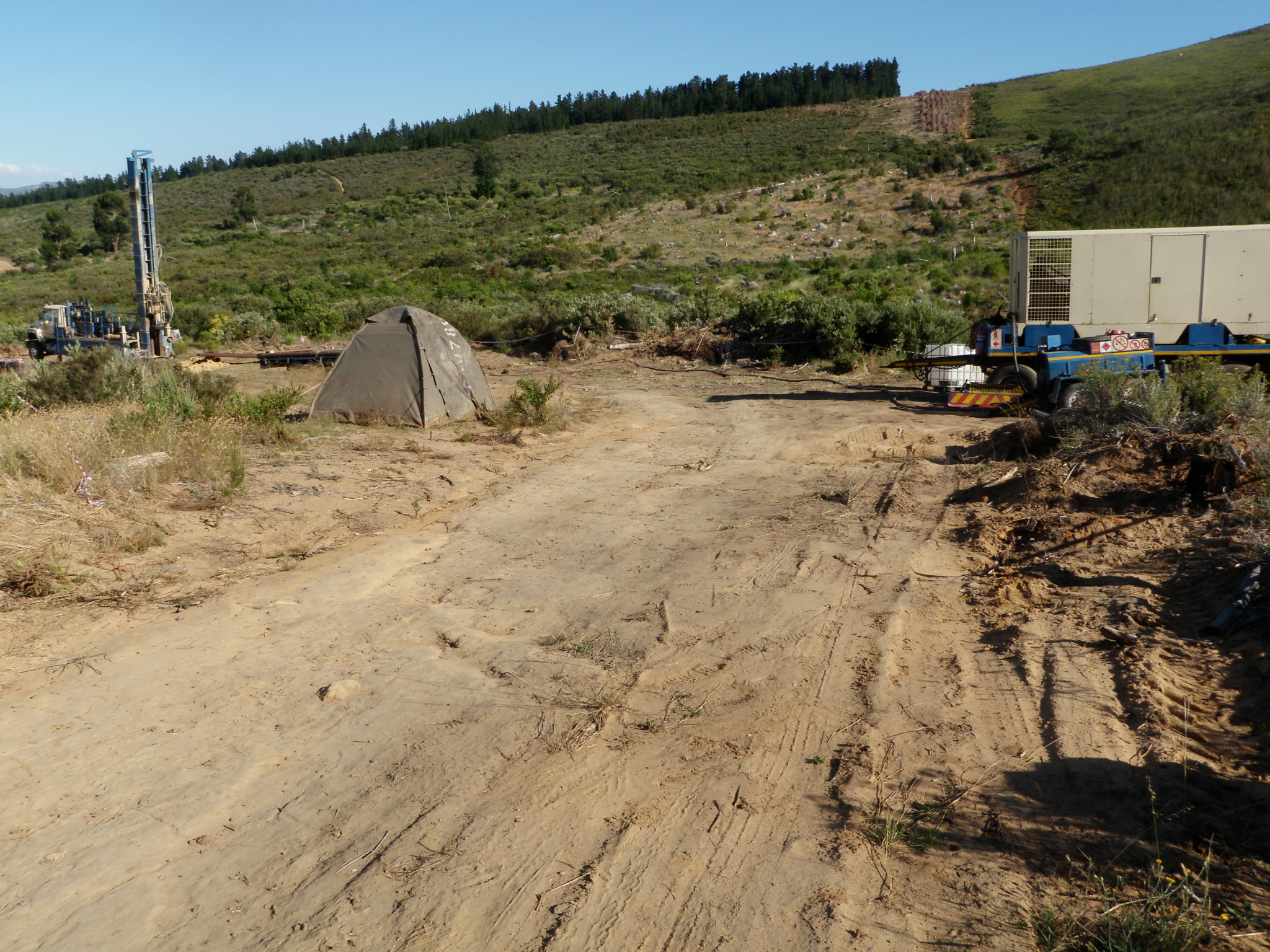
Borehole B was started on 17 or 18 November 2017. The images
below date from 18 November.
First the view from the forest side, taken with the wetlands in the
foreground:

and the same area one week later, seen from the mountainside:
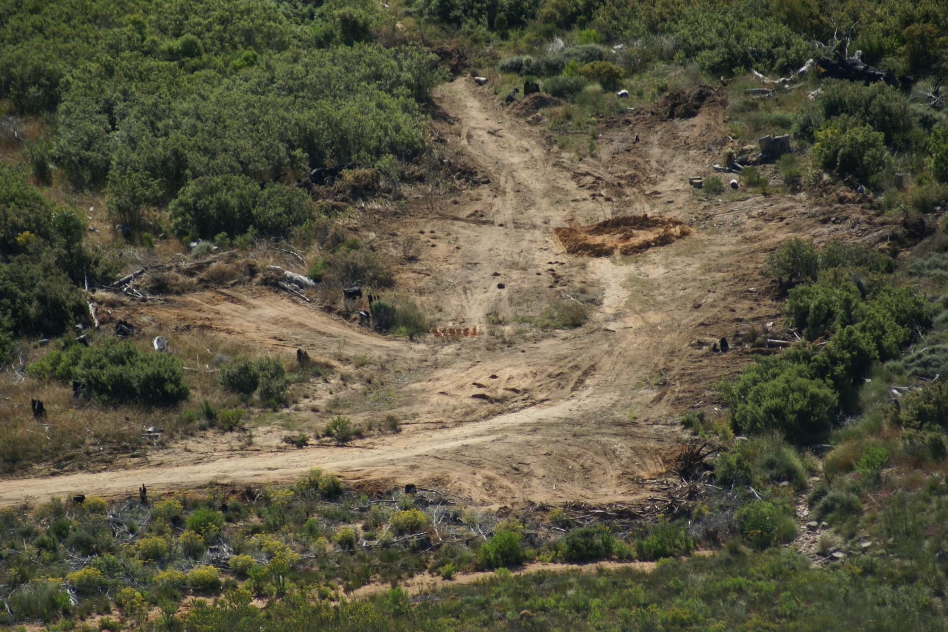
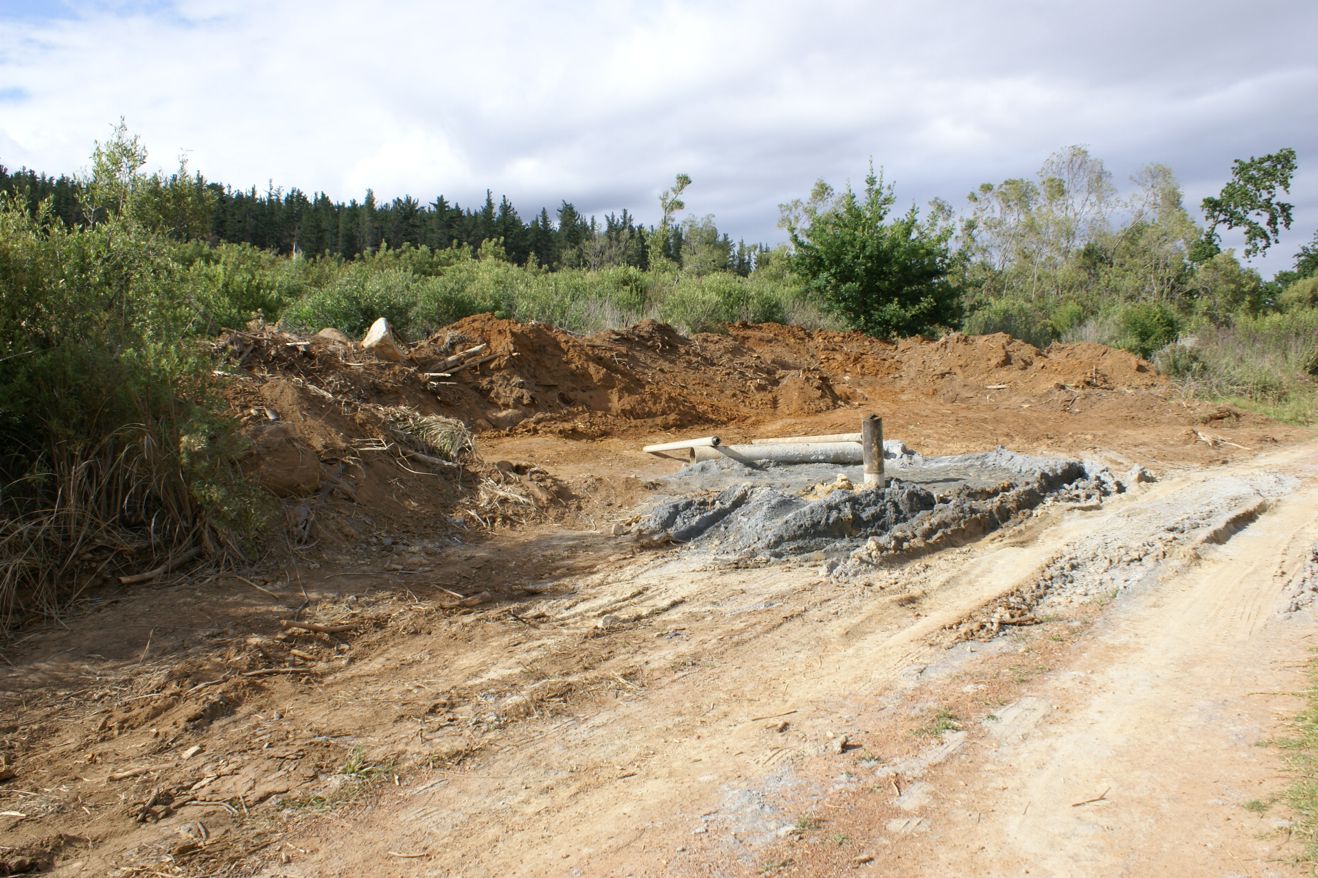
Before drilling started, about 60 by 30 metres square metres
(i.e. an area of approximately 1800 square metres) of fynbos
had been bulldozed. It is unclear who exactly did the
bulldozing.


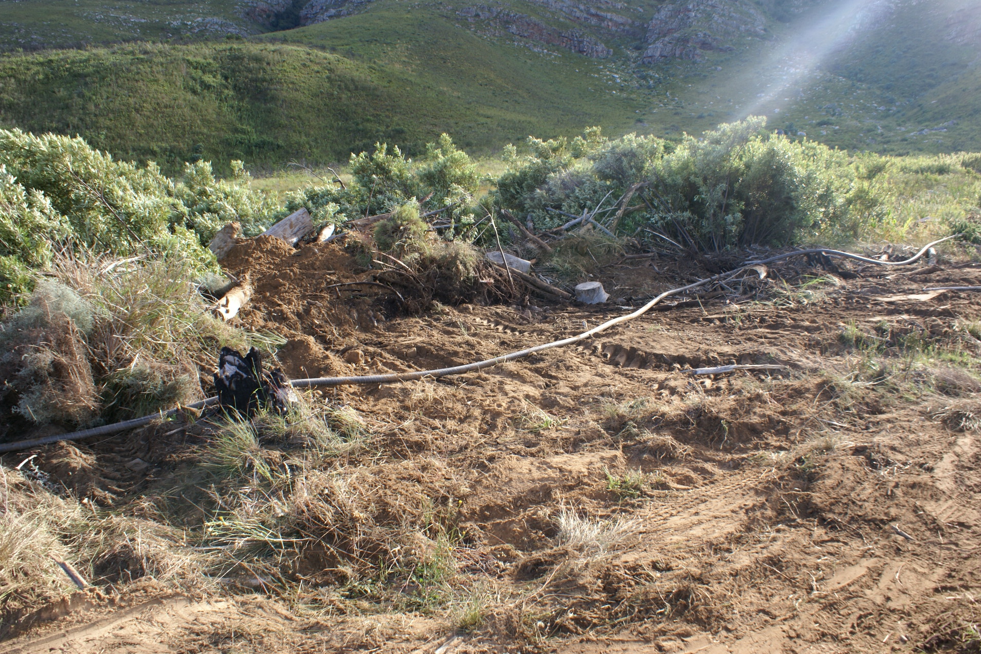
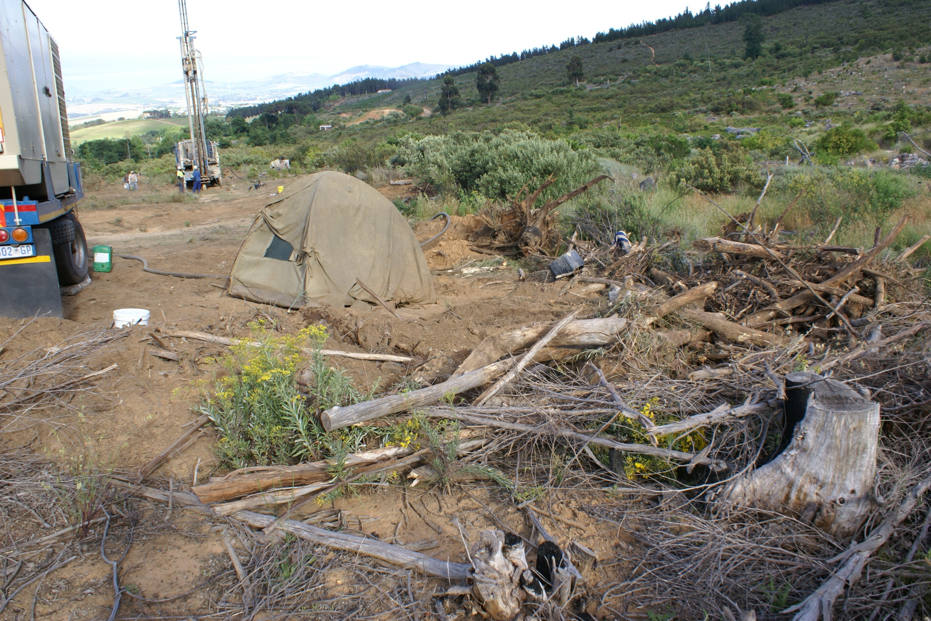
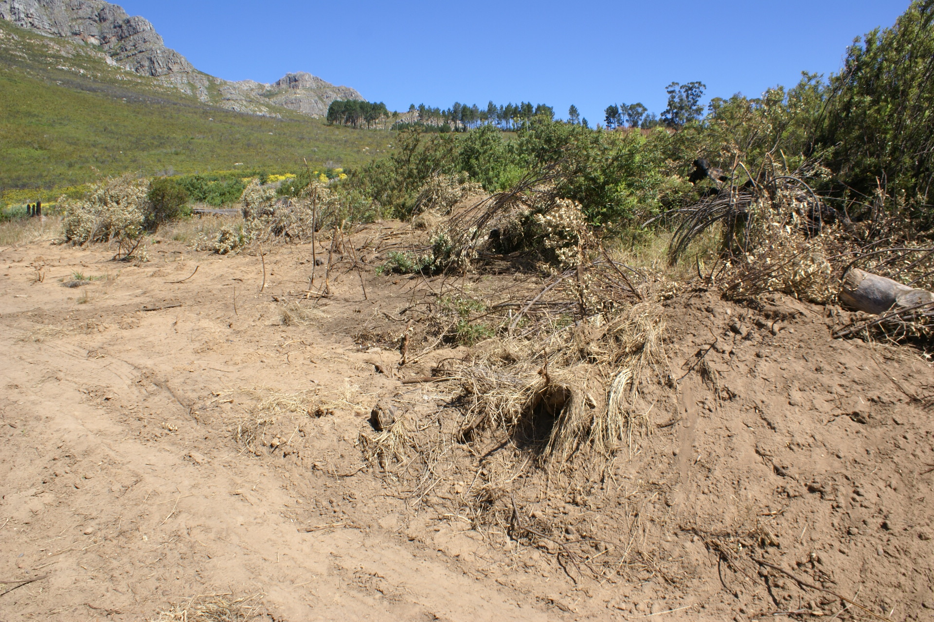
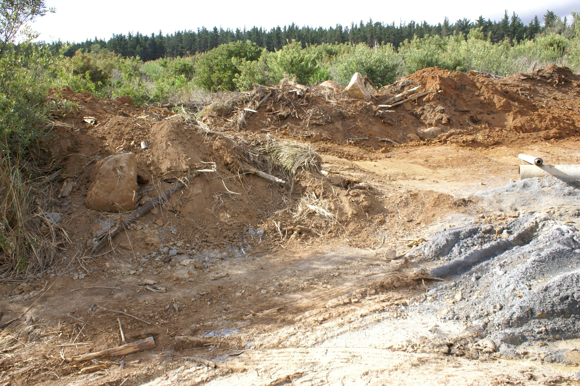
The bulldozed ground and debris was pushed onto the banks and
into the adjacent watercourse (which is currently dry) over a
length of about 20 metres:
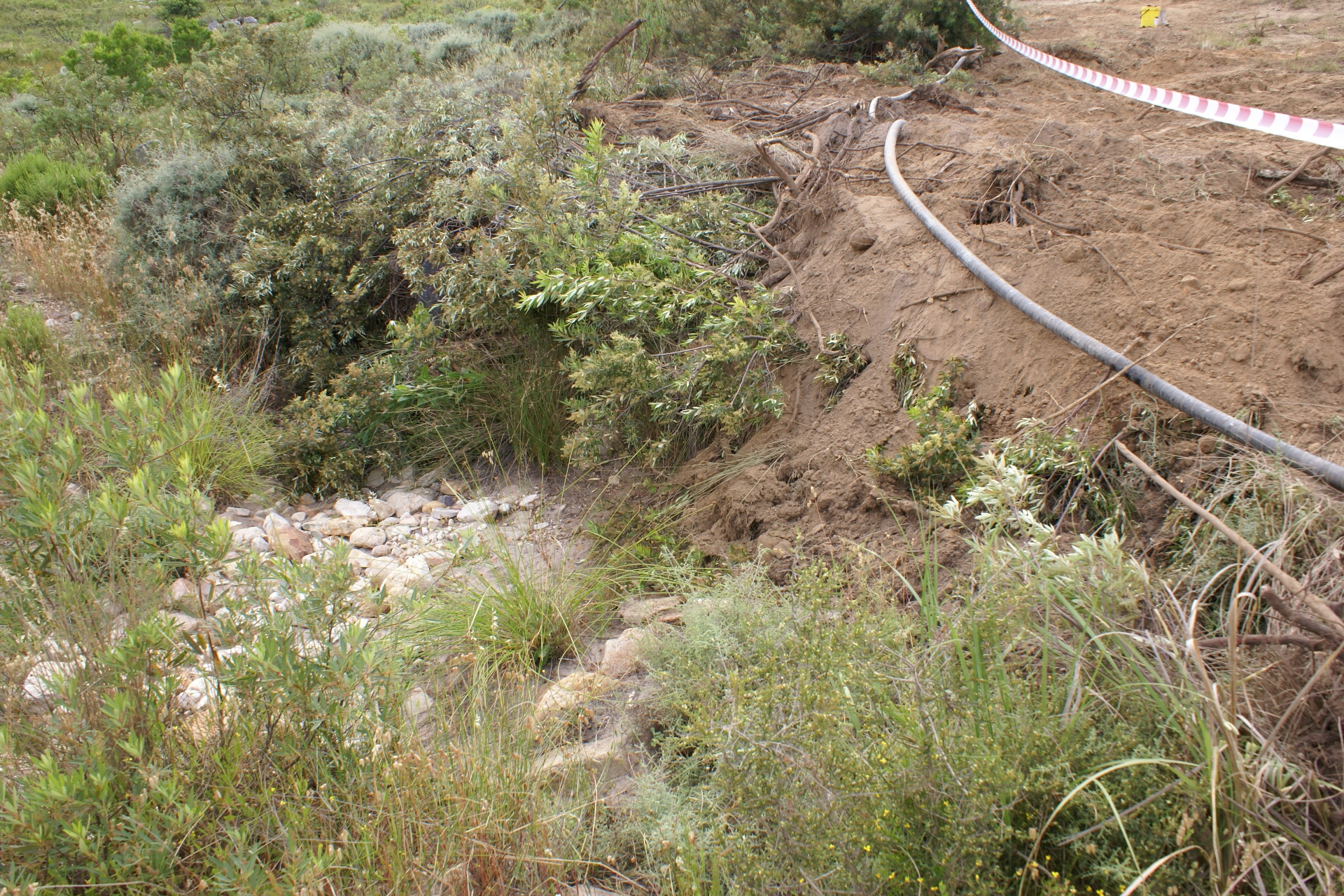
This while the
Boucher 2006 botanical study recommended that a
minimum 30 metre buffer zone must be maintained around
stream communities (see Section 3.3).
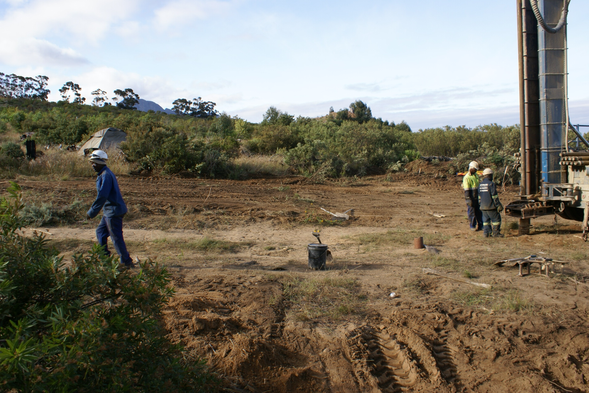
Initially there had been no tape cordoning off the area. An
hour after the above photos had been taken, the area was
cordoned off:
One week later on 26 November, the borehole had been closed
and the contractor had left:

but by 9 December drilling had resumed:
Either way, the damage has been done. It will take a long time to
rehabilitate the area, even if no further activity takes
place.